Real-world applications of satellite data for implementing the Sustainable Development Goals
Blog > Article > Real-world applications of satellite data for implementing the Sustainable Development Goals
In our rapidly evolving world, the quest for sustainable development has become more critical than ever.
The United Nations' Sustainable Development Goals (SDGs) stand as a blueprint for humanity's shared commitment to addressing global challenges, ranging from poverty and inequality to environmental degradation. As we pave our way to achieving this common goal, one tool has proven to be indispensable: satellite data. Imagine having a bird's-eye view of Earth, a perspective that allows us to monitor and address various aspects of sustainable development with unprecedented precision and frequency. Adoption of this innovative method could assist not only companies or local entities but even whole countries in reliable, systematic approach towards making the world more sustainable and simply better.
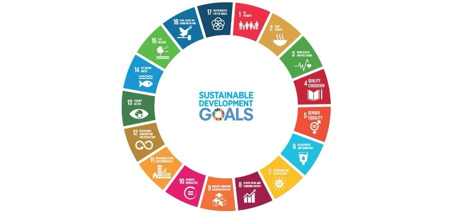
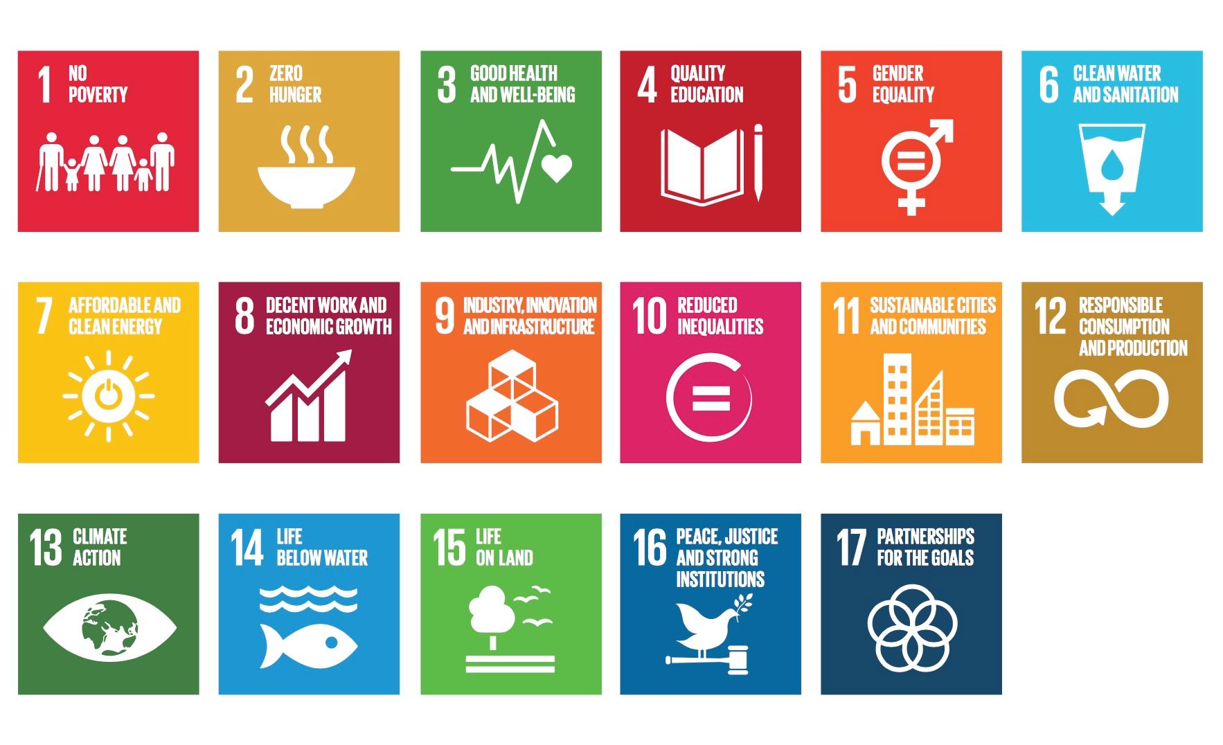
The Sustainable Development Goals represent a global commitment to address the world's most pressing challenges and build a sustainable future for all. Developed by the United Nations, the SDGs emerged from a series of international discussions and negotiations. Building upon the Millennium Development Goals achieved by 2015, the SDGs encompass 17 interconnected goals that tackle a broad spectrum of issues, ranging from poverty and hunger to gender equality, climate action, and peace. Adopted in 2015 by all 193 UN member states, the SDGs are designed to be achieved by 2030, providing a comprehensive framework to guide nations toward a more equitable, resilient, and sustainable world. The goals are not only a call to action for governments but also engage diverse stakeholders, including businesses, civil society, and individuals, highlighting the collective responsibility to transform our world for the better. With an emphasis on leaving no one behind, the SDGs aim to address the root causes of global challenges, promoting a holistic and inclusive approach to development.
 Sustainable development goals
Satellite data acts as a catalyst for progress across multiple SDGs by offering invaluable insights into environmental changes, resource management, and the impact of human activities on the planet. Its role is crucial in bridging the gap between global aspirations and actionable strategies for sustainable development. Here are some of the most essential benefits of satellite data for SDGs implementation:
- This method of data collection provides a comprehensive and global perspective, covering vast areas that may be inaccessible or difficult to monitor through ground-based methods alone. This ensures that even remote and geographically challenging regions are included in the assessment and implementation of SDGs. High-resolution imaging and data collection enhances the precision and accuracy of assessments.
- Satellites offer real-time data, allowing for timely and continuous monitoring of environmental changes, disasters, and other dynamic processes. This real-time information is crucial for time-sensitive decision making and rapid responses to emerging challenges, particularly in the context of climate change and natural disasters.
- While the initial investment in satellite technology can be substantial, the long-term benefits often outweigh the costs. This method offers a cost-effective means of collecting large-scale data over extended periods, reducing the need for expensive field surveys and constant manual monitoring.
- Satellites provide consistent and standardised data collection, ensuring a reliable and comparable dataset over time. This consistency is vital for tracking progress toward SDGs, evaluating the effectiveness of interventions, and fostering accountability on a global scale.
There are a few SDGs within which satellite data seem to be the most useful. It can become instrumental in monitoring such environmental changes as deforestation, pollution, and changes in ecosystems. It also facilitates efficient and sustainable resource management by monitoring water resources, agricultural practices, and land use changes. This tool might contribute to the development of early warning systems for natural disasters as well, helping communities and governments prepare and respond swiftly. Let’s dive into a few case studies for the use of satellite data to implement the SDGs in real life.
SDG 13: Climate Action
One of the most critical challenges humanity faces today is climate change. SDG 13, "Climate Action," calls for urgent measures to combat this process and its impacts. Satellite observations aid in monitoring deforestation, tracking carbon emissions, and assessing the health of ecosystems. By harnessing satellite technology, we can develop informed strategies to mitigate the adverse effects of climate change based on reliable data.
 SDG 13 Climate Action
SDG 15: Life on Land
Linked closely with the previous point, SDG 15, "Life on Land," aims to protect, restore, and promote the sustainable use of the ecosystems and resources on Earth. Satellite data proves invaluable in addressing deforestation and biodiversity loss, providing a comprehensive view of land cover changes. By leveraging this method, we can implement targeted conservation efforts, safeguarding vital ecosystems and the diverse life forms they support.
 SDG 15 Life on land
SDG 6: Clean Water and Sanitation
Access to clean water is a fundamental human right, as highlighted in SDG 6, "Clean Water and Sanitation." Satellite data is instrumental in monitoring water resources, assessing water quality, and managing water scarcity. The role of satellites in tracking changes in water bodies, identifying pollution sources, and facilitating effective water resource management. With this technology, policymakers can make informed decisions to ensure sustainable water usage and protect this precious resource for future generations.
 SDG 6 Clean water and sanitation
As we try to understand the complex landscape of sustainable development, satellite data emerges as a great innovation. By making a beneficial use of the power of satellites to monitor climate, land, and water, we can make informed decisions that pave the way for a more sustainable and resilient future. It is evident that satellite data will continue to be a cornerstone in our common efforts towards a better, more sustainable world.

Aleksandra Jaworska • May 31, 2024